Commentary
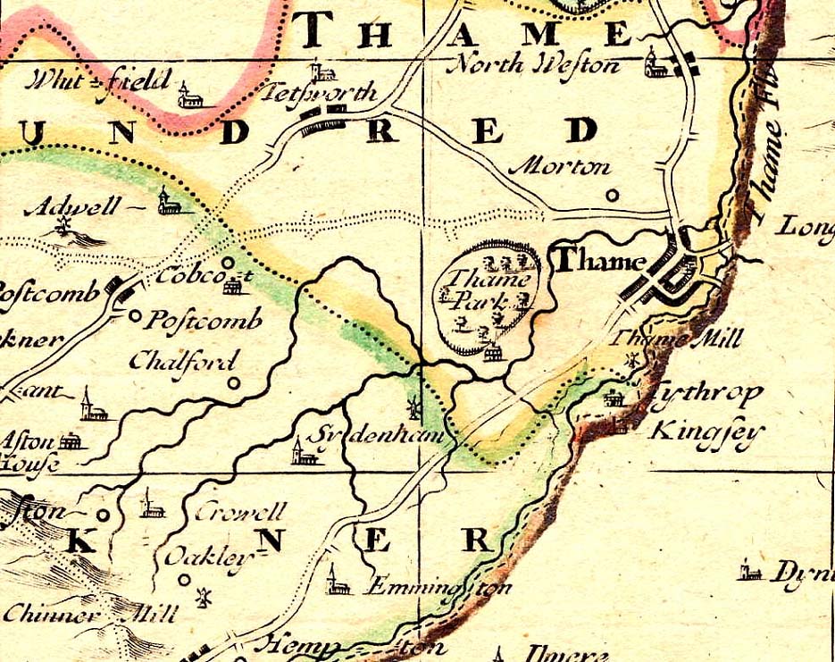
This map showing Thame is taken from a map of Oxfordshire made by Overton in 1715.
The first thing to say about this map is that is not aligned north to south, like most maps. It is aligned more or less east to west.
Once we've got our bearings, we can see the same basic roads as are shown on the 1695 Morden map. The internal make-up of Thame is shown in slightly better detail than in 1695, although the basic shape is the same.
The Thame Mill appearing on this map is a windmill.