Commentary
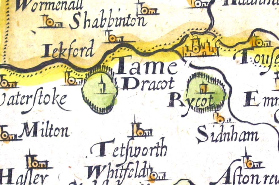
This is an early map showing Thame, based on the survey of Oxfordshire made by Christopher Saxton in 1574, and engraved by William Hole in 1610.
The three bridges shown on the original Saxton map are shown, over the river Thame towards Long Crendon, over Cuttle Brook in the direction of Rycote, and over the second major tributary of the river Thame, towards Haddenham.
Note that William Hole has called Thame Park 'Rycot' and called Rycote Park 'Dracot'. This is a mistake. Dracot appears on the original Saxton map, close to Rycote Park, and Thame Park is not named.